Key Places:
Indian Himalayas Cycling Holiday
Manali to Leh
Chandigarh
Chandrigarh is capital of both Punjab and Haryana. The city’s official emblem is the 'Open Hand' symbolising peace and reconciliation. It is the first planned city in Independent India and regarded as the country’s best planned metropolis. In 2010 it was rated India’s cleanest city. Le Corbusier and Nehru number amongst the conceptualists who contributed to its realisation as prosperous and aesthetically pleasing. A contemporary city of "Sun, Space and Verdure" to fulfil basic functions of working, living, and care of body and spirit. The leisure valley, gardens, sector greens, forests and trees of Chandigarh are ‘the lungs of the city’. The city is set against a striking deep blue sky and dramatic Shivalik Hills. A short distance outside the city in the Panchkula district is the Chandi Mandir temple dedicated to the goddess Chandi from whom the city takes its name.
Chandrigarh exemplifies the co-existence of urbanity and nature, with greenery as much a part of the fabric of the city as the buildings themselves. Built in the 1950’s the concrete facades are inevitably now weathered. The climate here can be extreme with an uneven distribution of rainfall. The roads in and around Chandrigarh are surrounded by trees and it has the third highest forest cover in India.
Visitors can by day tickets for a Hop On Hop off double-decker bus which takes you around for a tour of all the main spots in the city including Sukna Lake, the numerous gardens, art gallery and museum.

Delhi
Delhi is the main gateway city for northern India. Its strategic location was one of the prime reasons why successive dynasties chose it as their seat of power. Delhi is truly a symbol of the old and the new.
The city has two distinct parts, Old Delhi & New Delhi. Old Delhi is centered on the Red Fort built by Emperor Shah Jehan between 1636 & 1658.
The streets of Old Delhi are narrow & bustling. The beauty & serenity lies inside the courts of the main buildings. Delhi has some of the finest museums in the country.
Its boutiques and shopping arcades offer access to a wealth of traditional and contemporary crafts, from all over the country.
Kardung La
In the Tibetan language 'la' means pass. The Kardung La in Ladakh, was constructed in 1976, and opened to motor vehicles in 1988 since when it has become a popular challenge for adventurers in 2 and 4 wheel motor vehicles and for mountain bikers. At a dizzying elevation this is one of world's highest motorable passes. Historically the Khardong La was a part of the major trade road from Leh to Kashgar in China. Thousands of horses and camels were transported along this route each year
The Khardung La is situated 39 km north by road from Leh. The first 24 km, as far as the South Pullu check point, are paved. From there to the North Pullu check point about 15 km beyond the pass the roadway is primarily loose rock, dirt, and occasional rivulets of snow melt. From North Pullu into the Nubra Valley, the road mainly well maintained except in a few places vulnerable to washouts or falling rocks. A special Inner Line permit is required for travellers to make the journey here.
On the Ladakh mountain range, the Kardung La is a gateway to Shyok and Nubra river valleys. The Siachen Glacier lies part way up the Nubra valley; it is the longest glacier in the Karakoram and second longest in the non-polar regions of the world. The Kardung La is a significant access route used to transport supplies to the Siachen.

Leh
Leh is the only town in Ladakh, a region of India near the Tibetan border. The region is high and dry - lying north of the Himalaya which protects it from the monsoon rains. It is sparsely populated as the barren land supports little agriculture.
Ladakh is sometimes known as Little Tibet. It is probably more purely Tibetan with its Buddhist culture and architecture than Tibet itself, as it was never occupied by the Chinese. Ladakhi people wear traditional clothing, grow barley, drink yak butter tea and practice Buddhism freely.

Manali
Manali lies south of the mountains, nestled at the head of a lush valley. In contrast to Ladakh, it is a bustling place full of backpackers who flock there for its trekking and laid-back lifestyle.
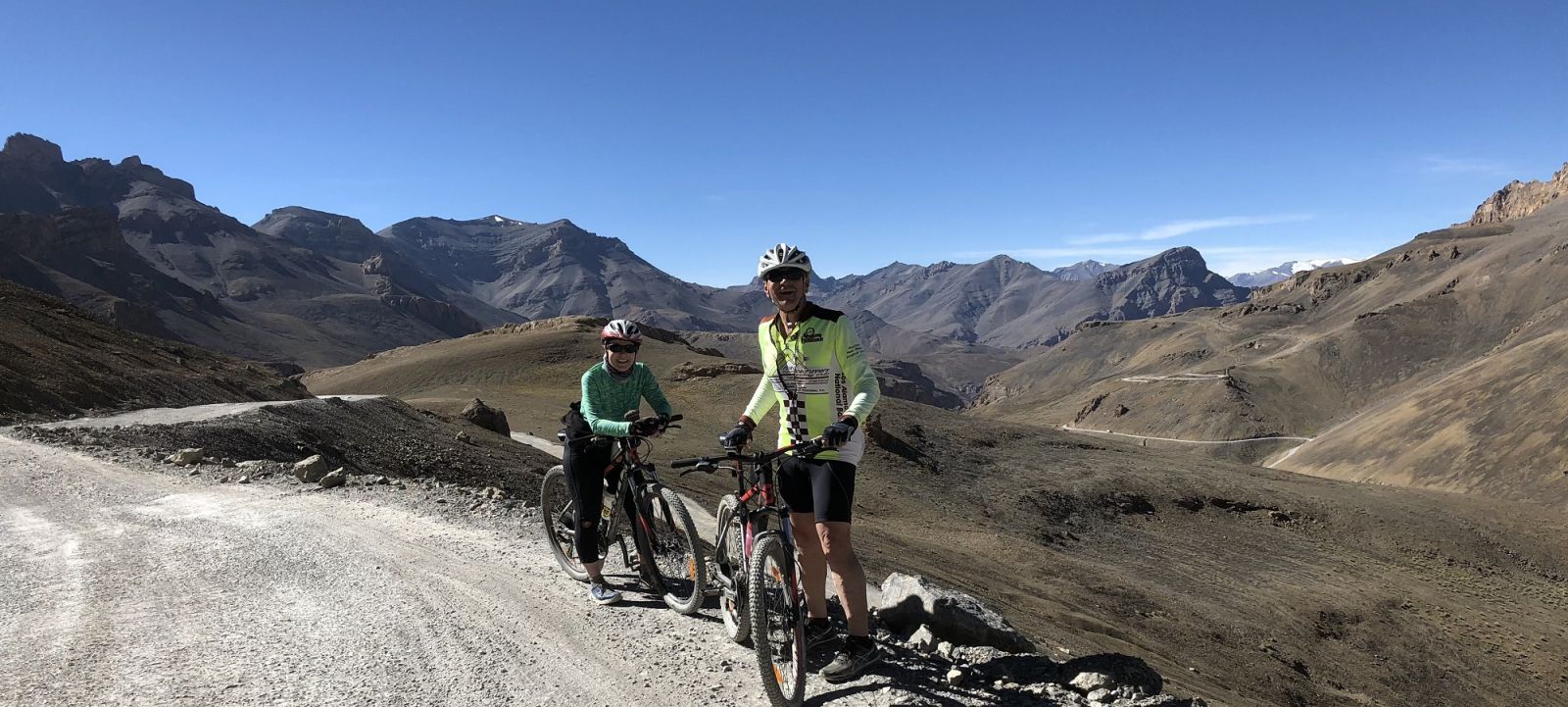
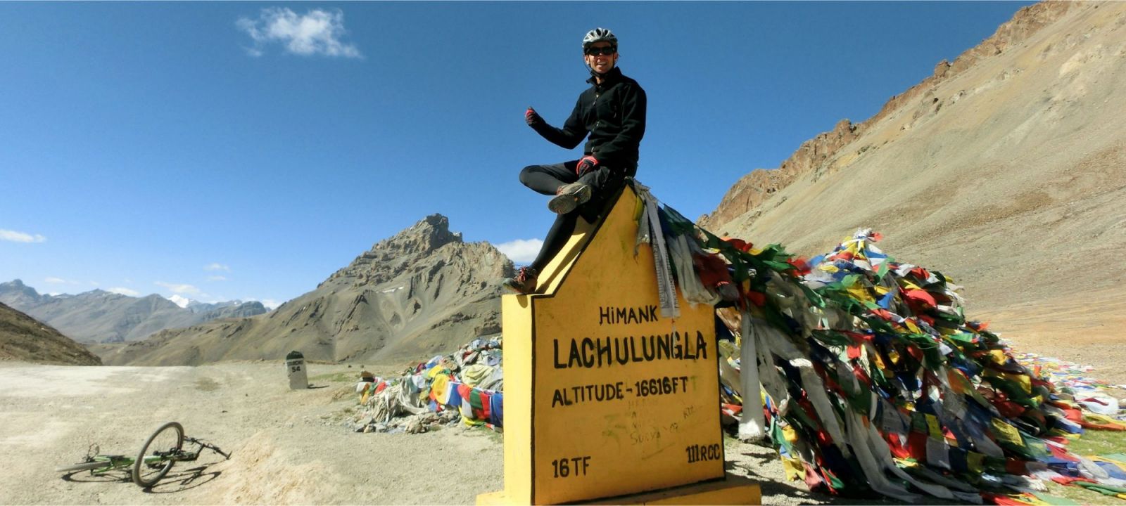
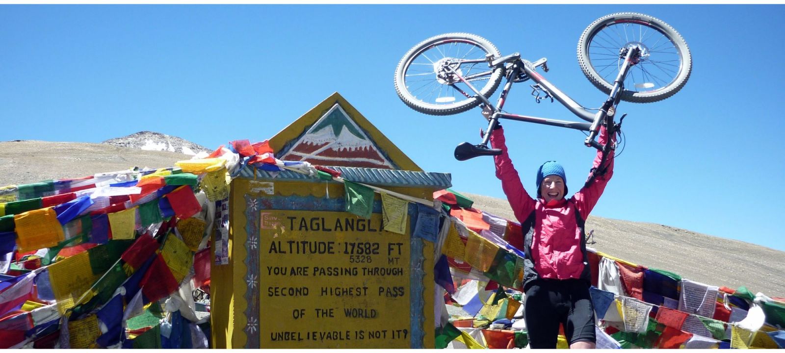
The Manali - Leh road literally crosses the Himalaya. Accumulated altitude gain exceeds a breath-taking 10,000 metres. Taglang La is the highest point at 5328 metres.
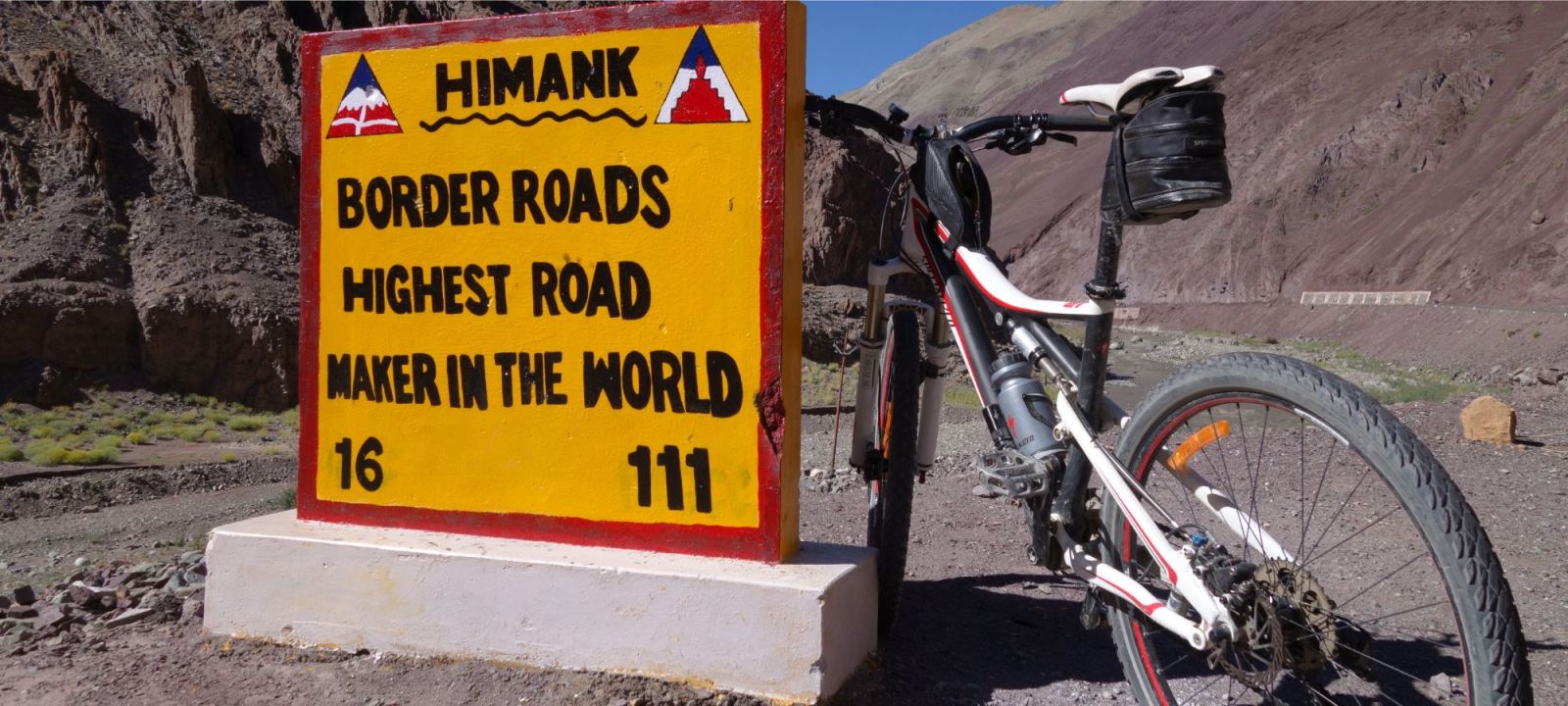
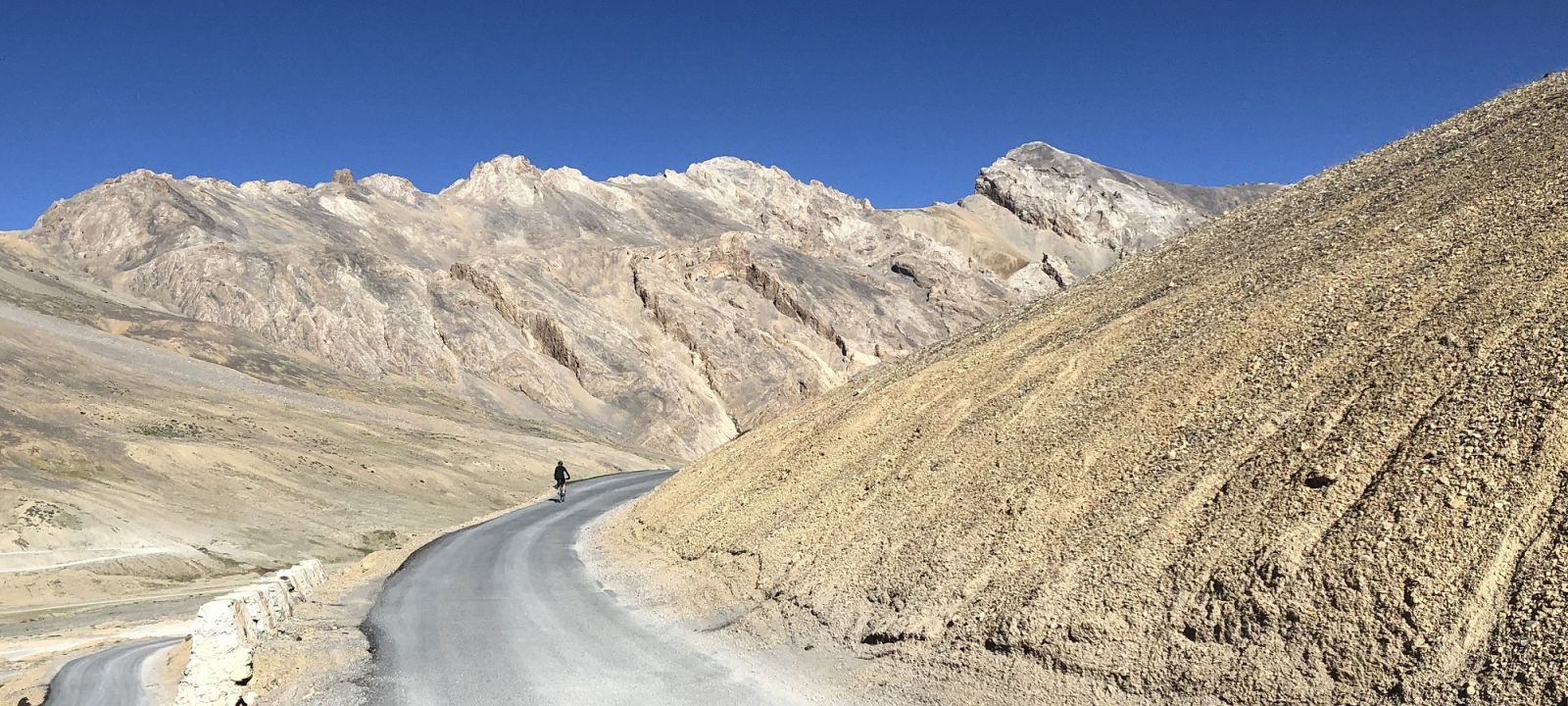
The road was built by the Indian army to supply their bases in this politically sensitive border region and has been open to foreigners for only the past ten years. The road was designed for trucks, so the gradients are not steep. About 90 percent of the road is paved and gangs of tar-smeared labourers are gradually completing the rest.
Tso Kar Lake
Tso Kar is a fluctuating high altitude alpine salt lake in the Rupshu Valley known as The White Lake because of the amount of salt deposits on its banks. It is a popular destination for bird watchers as the marshlands surrounding the lake are home to several rare species of bird. Black necked cranes, known for their fidelity, come to Tso Kar to lay eggs. The sight of the birds, with a wingspan of almost eight foot, taking flight is an amazing spectacle against the backdrop of green plains and the snow covered mountains.
Kiangs (the largest wild ass) that cannot be tamed live in large groups here as well as Tibetan gazelle, Tibetan wolf. Steppe nomads who inhabit the nearby areas make a living collecting the salt from the banks of the lake and selling it to surrounding regions.
If you need assistance or wish to discuss the tour, please feel free to call us on +44 (0) 1463 417707.
Alternatively, you can email us on office@redspokes.co.uk for more information on this adventure holiday.
Key Places
There are several key places on our Indian Himalayas cycling holiday. Please choose from the following list for more information on each key place.
Customer Testimonial
"Cycling the Manali-Leh highway with my 15 year old son is an experience that we will never forget. The redspokes team took very good care of us and ensured that..."
Jason Cooper


.jpg)
.jpg)
.jpg)
.jpg)
 - Copy.jpg)
.jpg)
.jpg)
.jpg)
